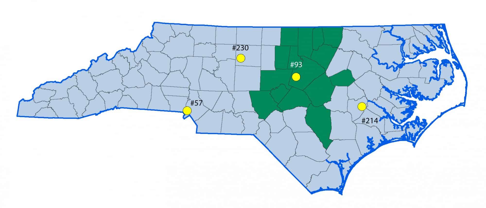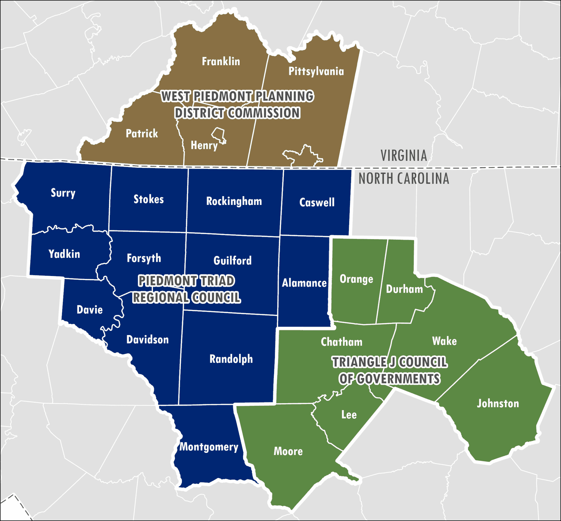
Roadway crashes have a serious impact on communities across the Central Pines region. From 2020 through 2024, there were 4,741 fatal or serious-injury traffic crashes across the seven-county region, an average of nearly 1,000 each year.
In 2024, Central Pines Regional Council began a regional Safe Streets for All project to give local governments practical tools for transportation-safety planning.
Funded through the Federal Highway Administration’s Safe Streets and Roads for All program, the project included:
- Two pilot Transportation Safety Action Plans
- A regional crash-data toolbox
- Plan templates
- Mapping and analysis tools
- Technical instructions
- Example strategies and adoption materials
The project wrapped up in late 2025, but the resulting tools are designed for continued use by communities throughout the region.
Learn From Two Pilot Safety Action Plans
Central Pines worked with two different types of communities to create example plans: an urban/suburban plan for Morrisville and a rural-area plan covering Sanford, Broadway and Lee County.
The plans were designed both to guide local action and to serve as examples other communities can adapt.
Morrisville in Motion
Morrisville in Motion
The Morrisville in Motion Safety Action Plan analyzes traffic-safety conditions and provides a strategic set of recommendations for improving roadway safety for all users.
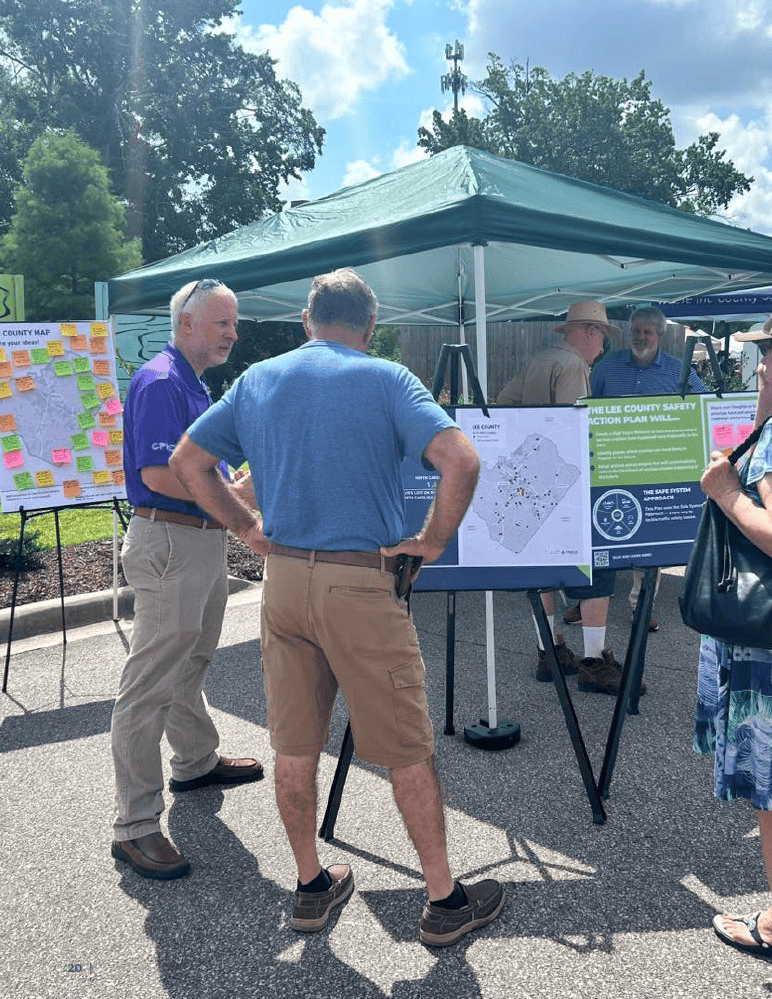
Community input was gathered throughout summer and fall 2025 through events, surveys and online engagement. The Morrisville Town Council adopted the plan on October 14, 2025.
Sanford, Broadway & Lee County
Sanford, Broadway & Lee County
The Lee County Safety Action Plan was developed collaboratively by the City of Sanford, Town of Broadway and Lee County. It analyzes traffic-safety data and provides recommendations for improving roadway safety for all types of road users.
The plan was adopted in December 2025 by all three participating governments.
Create a Safety Action Plan for Your Community
Central Pines developed templates and technical resources that communities can use to create their own Transportation Safety Action Plans.
Plan Templates & Technical Tools
Plan Templates & Technical Tools
An annotated Microsoft Word template with guidance throughout the document.
Step-by-step guidance for gathering data, preparing maps and completing the technical portions of a Safety Action Plan.
A summary of major themes and elements from the Morrisville and Lee County pilot plans.
A collection of strategies and actions drawn from the two pilot Safety Action Plans.
A Microsoft Excel template for analyzing local crash data.
Explore the Safety Data Toolbox
Central Pines also developed a set of online mapping and data tools to help communities understand local crash patterns and complete the analysis needed for a Safety Action Plan.
The toolbox includes:
- Fatal and serious-injury crash maps
- Non-motorized crash maps
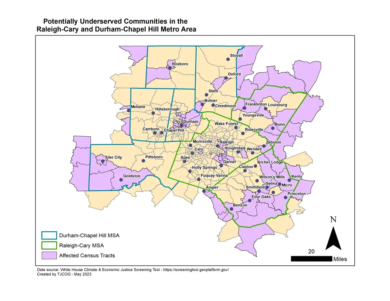
- Crash locations compared with transportation-disadvantaged areas
- High Injury Network maps
- A detailed crash viewer
- A crash-rate viewer that can help communities define a High Injury Network
The technical instructions were specifically designed to work alongside these tools.
Central Pines’ Commitment to Transportation Safety
In October 2025, the Central Pines Board of Delegates adopted a resolution supporting Transportation Safety Action Plans across the region.
Project & Board Materials
Project & Board Materials
Additional Roadway Safety Resources
Additional Roadway Safety Resources
Need Help With Transportation Safety Planning?
Central Pines can help communities understand the available tools and determine the right starting point for local roadway-safety planning.