Land Use & Community Planning
Helping communities plan for growth with better data, clearer choices and strategies built around local priorities.
Program Details
Growth creates interconnected decisions about land, housing, transportation, infrastructure and community character. Central Pines helps local governments understand those connections and build plans that reflect both future needs and local priorities.
Our planners support communities with comprehensive and small-area planning, land-use analysis, growth forecasting, scenario modeling, GIS and technical assistance. The work ranges from helping a town plan for a specific neighborhood to modeling how population and employment growth may be distributed across the wider region.
Central Pines’ current Community Planning program emphasizes data-driven planning, community engagement and strategies that fit local conditions rather than applying the same solution everywhere.
Services at a Glance
Explore The Details
Program Services & Information
Program Services & Information
Plan for Growth
Build community plans, land-use strategies and development policies that help local governments manage change while reflecting local priorities.
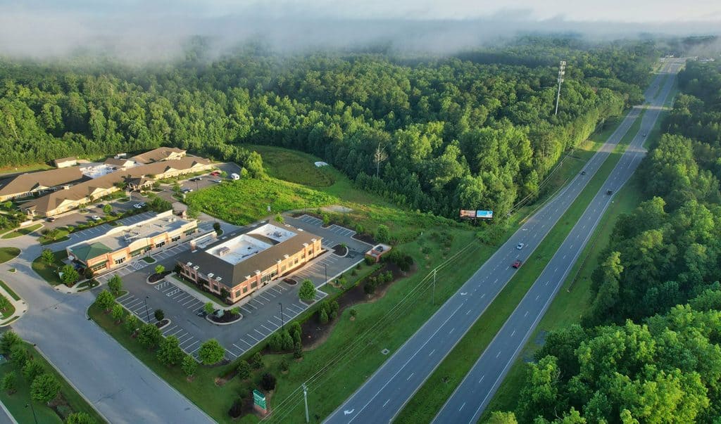
Community & Comprehensive Planning
Central Pines works with communities on long-range, comprehensive and small-area plans that turn local goals into practical direction for growth, investment and future decision-making.
Support can include:
- Comprehensive and long-range planning
- Small-area and corridor planning
- Existing-conditions analysis
- Community and stakeholder engagement
- Plan implementation
Project Example
Needmore Community Small Area Plan
A community-driven planning effort for the Needmore area in Carthage, with recommendations shaped around local priorities and future investment.
Land Use Planning
Land-use planning connects a community’s larger goals with decisions about where and how development occurs. Central Pines can help evaluate existing patterns, define future land uses and connect adopted plans with policies and regulations.
Land Use & Development Support
Land Use & Development Support
- Future land-use planning
- Zoning and development regulations
- Unified development ordinances
- Development and capacity analysis
- GIS and mapping
Project Example
Town of Goldston Unified Development Ordinance
Development regulations created to support orderly growth and implement Goldston’s adopted Land Use Plan.
Understand Future Growth
Use forecasting, scenario planning and spatial analysis to understand where growth may occur, test different futures and connect development decisions with transportation and infrastructure needs.
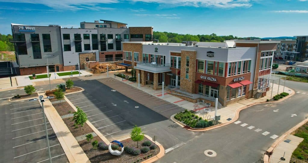
Growth Forecasting & Scenario Planning
Central Pines helps communities look beyond current conditions by forecasting future population, households, jobs and development patterns.
Scenario planning can help answer questions such as:
- Where is future growth likely to occur?
- Which areas have capacity or constraints?
- How might different development patterns affect communities?
- What could those patterns mean for transportation and infrastructure?
CommunityViz Growth Allocation
CommunityViz is one of the tools Central Pines uses to turn those assumptions into measurable scenarios. The model evaluates development capacity and allocates projected household and employment growth based on adopted plans, land conditions and other local assumptions.
What Goes Into the Model?
What Goes Into the Model?
Development Constraints
Environmental and physical conditions that limit where development can occur.
Place Types & Development Intensity
Assumptions about what different areas may become and how intensely they may develop.
Current Development
The relationship between what exists today and what adopted plans envision for the future.
Land Suitability
Factors such as infrastructure and transportation access that make locations more or less suitable for growth.
Growth Targets
Projected households, population and employment that need to be distributed through the model.
Connecting Land Use & Transportation
Where homes, jobs and services are located affects travel patterns and future transportation needs. Central Pines uses land-use and growth forecasts as inputs to regional transportation planning so infrastructure decisions can reflect where communities are expected to grow.
Project Example
#Durham Joint Comprehensive Plan
Central Pines supported scenario planning for Durham’s Joint Comprehensive Plan, using CommunityViz to analyze future conditions and test growth scenarios informed by local plans, community priorities and public input.
Get Planning & Technical Support
Use forecasting, scenario planning and spatial analysis to understand where growth may occur, test different futures and connect development decisions with transportation and infrastructure needs.

Central Pines can provide targeted support without requiring a community to undertake a full comprehensive-planning process. Assistance can be scoped around a defined project, staffing need or planning question.
Common Planning Assistance
Planning & Project Support
Additional planning capacity for a defined initiative or ongoing local need.
Research & Data Analysis
Focused research, demographic information and development analysis.
GIS & Mapping
Maps and spatial analysis that help communities understand existing conditions and future opportunities.
Facilitation & Engagement
Support for public meetings, stakeholder discussions and collaborative planning processes.
Growth Forecasting
Population, employment and development analysis for future planning.
Zoning & Development Support
Assistance with ordinances, planning administration and development-related work.
Have a planning need?
Tell Central Pines what your community is working through, and the team can help determine whether the right next step is planning, analysis, mapping, facilitation or another form of technical assistance.
Frequently Asked Questions
Understand how land-use planning, growth forecasting and local technical assistance fit together.
What kinds of planning projects can Central Pines support?
What kinds of planning projects can Central Pines support?
Central Pines supports comprehensive and long-range planning, small-area planning, land-use analysis, zoning and development work, public engagement, GIS, growth forecasting and other targeted technical assistance.
What is a small-area plan?
What is a small-area plan?
A small-area plan focuses on a specific neighborhood, corridor, district or other defined area. It allows a community to look more closely at local conditions and develop recommendations tailored to that place.
What is the difference between land-use planning and growth forecasting?
What is the difference between land-use planning and growth forecasting?
Land-use planning defines how places are intended to develop or change. Growth forecasting estimates how future population, households and jobs may be distributed within that planning framework.
They work together: plans help shape the assumptions, and forecasting helps communities understand what those assumptions could mean over time.
What is CommunityViz?
What is CommunityViz?
CommunityViz is a growth-allocation and scenario-planning tool Central Pines uses to estimate development capacity and distribute projected household and employment growth based on land-use conditions and other planning assumptions. Central Pines Regional Council
Is CommunityViz only used for transportation planning?
Is CommunityViz only used for transportation planning?
No. Its outputs are important inputs to regional transportation models, but the tool itself is fundamentally about land use, development capacity and future growth. Central Pines has also used CommunityViz in local comprehensive-planning work, including Durham’s Joint Comprehensive Plan.
Can Central Pines help us create or update zoning regulations?
Can Central Pines help us create or update zoning regulations?
Yes. CPRC lists zoning administration among its current Community Planning assistance services, and its existing resources include ordinance work such as the Town of Goldston Unified Development Ordinance.
Can we request GIS or mapping help without doing a full planning project?
Can we request GIS or mapping help without doing a full planning project?
Yes. Central Pines separately identifies mapping, GIS services and other data analysis as forms of technical assistance for local governments.
Does this page include watershed and water-resource planning?
Does this page include watershed and water-resource planning?
No. Those services appeared on the legacy Community Planning page, but under the new site structure they belong with Prosperous & Sustainable Region rather than Land Use & Community Planning. We should migrate those documents and service information when we build the Water/Stormwater pages, not duplicate them here.
How do I request planning assistance?
How do I request planning assistance?
Use CPRC’s assistance request process and describe the local issue, project or capacity need you are trying to address.
Resources & Guides
Explore guides, program information and other resources that can help homeowners understand repair assistance, eligibility and options for maintaining a safe home.
-
Town of Selma Land Use Plan
The purpose for this plan is to provide a vision for the future growth and development of the Town of Selma, and to help execute that vision through adopted goals and policies. This 2040 Town of Selma Comprehensive Land Use Plan is designed to assist public officials, citizens, and staff…

-
Town of Princeton Land Use Plan
The purpose of this plan is to provide a vision for the future growth and development of the Town of Princeton, and to help execute that vision through adopted goals and policies. This 2019 Town of Princeton Land Use Plan is designed to assist public officials, citizens, and staff with…
-
Needmore Community Small Area Plan
A small area plan is a policy guide for growth and development, designed to implement the long-range vision of how an area will look, feel, and function in the future.
-
Town of Micro Comprehensive Land Use Plan
The latest Comprehensive Land Use Plan for the Town of Micro was adopted on February 12, 2019. The plan documents the current conditions of the town and outlines a strategy for future development and land use. Read Plan (PDF, 818.95 KB)
-
Town of Carthage Comprehensive Land Use Plan
The purpose for this plan is to provide a vision for the future growth and development of the Town of Carthage, and to help execute the adopted goals and policies. This 2040 Town of Carthage Land Use Plan is designed to assist public officials, citizens, and staff with evaluating the…
-
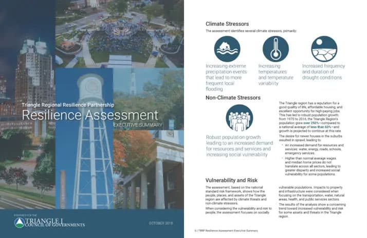
Partnership Makes Assessment of Resilience in the Triangle Region
A regional assessment helps communities understand shared climate and environmental vulnerabilities and identify strategies for strengthening resilience across jurisdictional lines.
-
Policy Options for Supporting Sustainable Building
Central Pines Regional Council aims to encourage the use of sustainable building materials in new construction. This report outlines initiatives that local governments can adopt to incentivize sustainable building, including organizing a citizen advisory committee, offering density bonuses, and providing educational materials related to sustainable materials. Read Report (PDF,…
-
Local Regulation of Short-term Rentals
Local Regulation of Short-term Rentals reviews the local regulations of short-term rentals adopted by five municipalities in North Carolina. In the ordinance review, regulations around eight topics–definitions, registration, specified districts, parking requirements, insurance or safety concerns, occupancy limits, on-site hosts, and penalties–are compared across the municipalities. Read Report (PDF, 1.06 MB)…
CommunityViz
Transportation conformity analysis evaluates whether metropolitan transportation plans and programs are consistent with federal air-quality requirements. Browse current and previous conformity determination reports for the Triangle region.
2055 MTP CommunityViz Data
2055 MTP CommunityViz Data
Adopted Plan Scenario
Draft Plan Scenario
Preferred Scenario
All Together
Shared Leadership
Plans & Trends
Deficiency & Needs
Adopted 2050 MTP CommunityViz Data
Adopted 2050 MTP CommunityViz Data
Connect With Our Planning Team
Have a planning, land-use or growth-analysis question? Connect with the staff member closest to the work.
-

Brendan Martini
Planner I
Related Services & Programs
-

Transportation Planning
Coordinate long-range transportation plans, project priorities, modeling and regional partnerships across both metropolitan and rural communities.
-
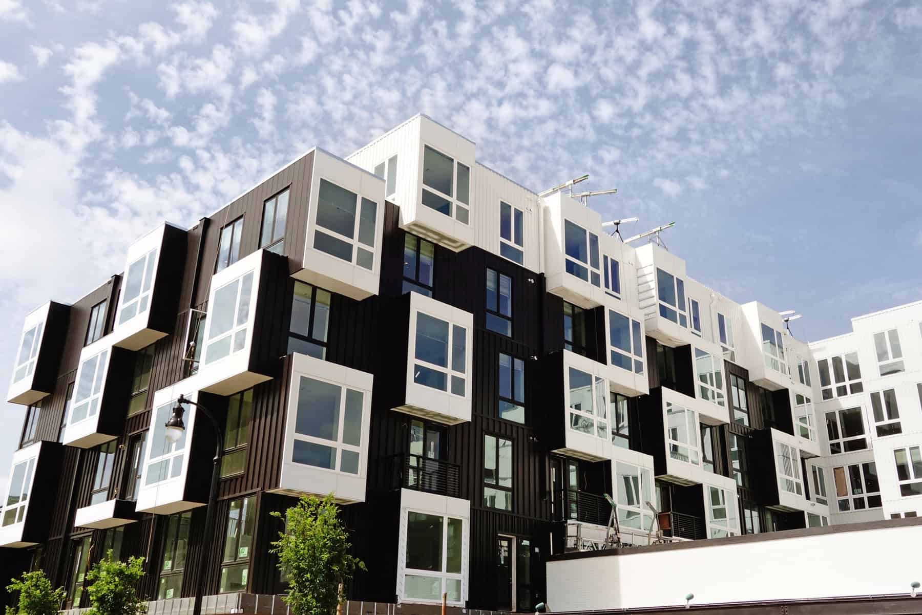
Housing
Help communities understand housing needs, shape policy, identify development opportunities and connect funding with local housing priorities.
-
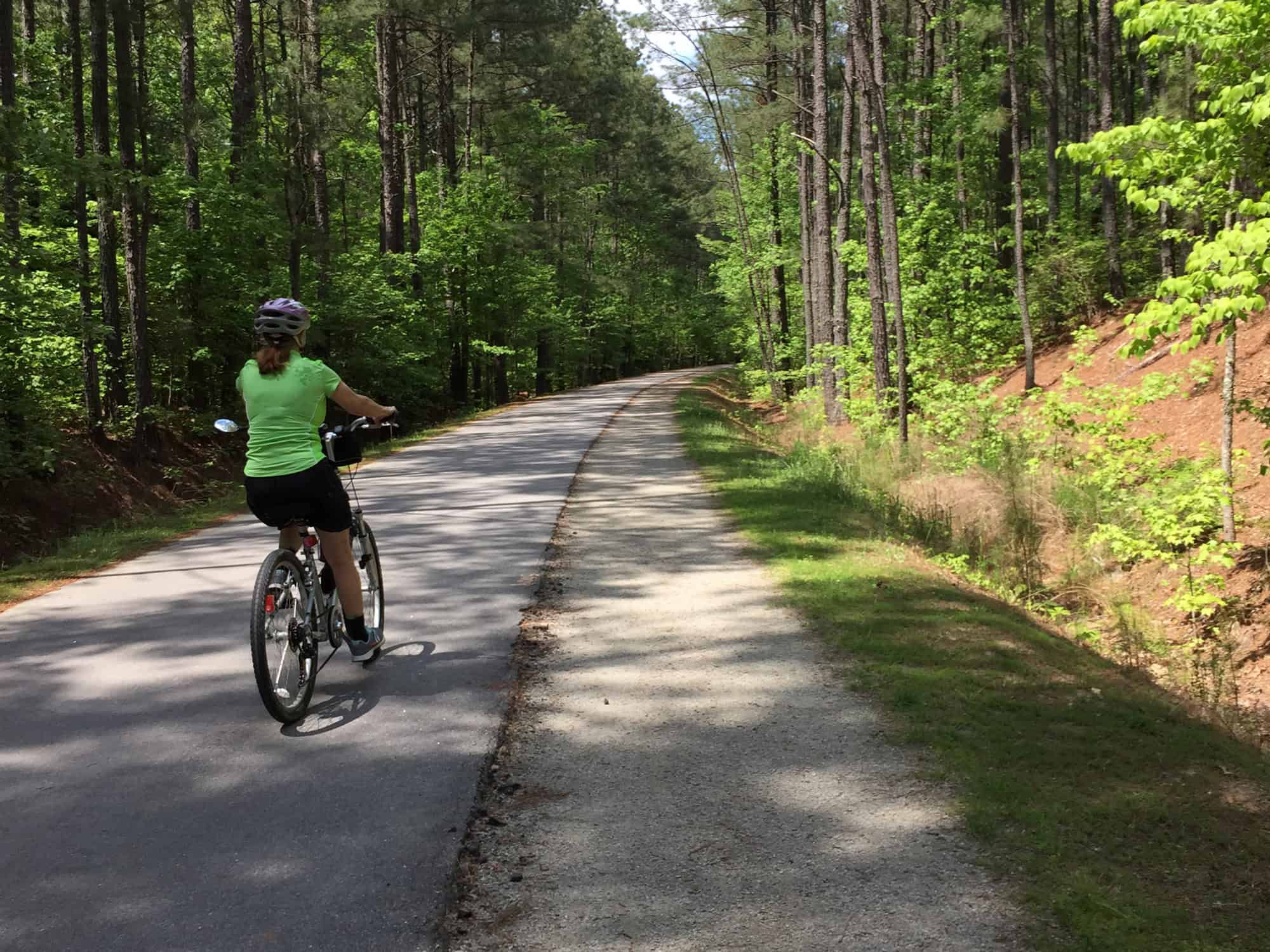
Mobility
Expand transportation choices through safer streets, better commuting options, walking and biking connections, and cleaner transportation programs.