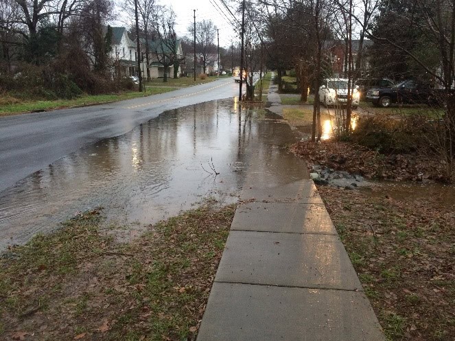
In 2019, CPRC and Biocenosis/Loves Creek Watershed Stewards obtained a grant from the NC Division of Water Resources to map and assess the condition of stormwater infrastructure on public roadways within a predetermined 2.7 square mile priority drainage area of Siler City. This priority drainage area contains the areas that most frequently flood within the 6.1 square mile town limits.
The goal of this project was to help Town and DOT staff locate, manage, and maintain stormwater infrastructure and prioritize maintenance to help alleviate flooding concerns and improve water quality. In the priority watershed, field data collection showed approximately 30% of the stormwater point infrastructure (e.g., storm drains) and 40% of the stormwater pipes (e.g., road culverts) to be blocked by debris.